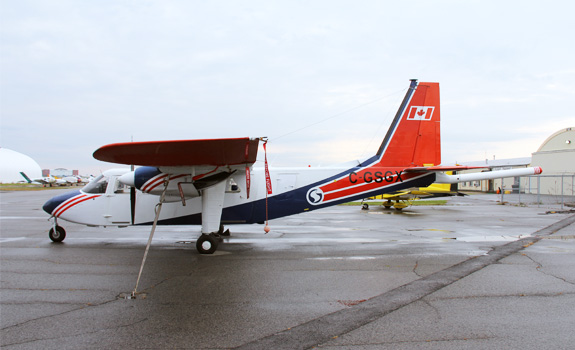
Airborne geophysical surveys
Overview
Surveys were conducted in locations where earlier assessments suggested there may be large areas of land that may meet the technical safety requirements for a deep geological repository. In order to better understand the surrounding geology, the areas being surveyed were much larger than what would be required for a deep geological repository and associated facilities.
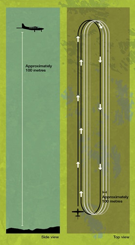
To conduct the surveys, aircraft fly approximately 100 metres above the surface, capturing the areas that desktop studies identified as potentially suitable. To collect data, aircraft fly along a number of straight lines over the areas, with approximately 100 metres of spacing between each adjacent line. To minimize noise disturbance, adjacent lines will not be flown one after the other.
This shows aircraft will fly about 100 metres above the surface, along straight lines over areas with about 100 metres of spacing between each line.
Once completed, the surveys provide important information to support discussion with the community, First Nation and Métis communities in the area, and surrounding municipalities about where and how the project might be implemented if it were to proceed.
We will work with people in the area to review the findings of the airborne surveys, and to plan for walking portions of the land for geological and environmental mapping. If subsurface studies such as borehole drilling and testing are warranted at a later date, these will also be developed in discussion with people in the area.
Resources:
Airborne surveys: Evaluating geology
Watch now